Kerosene Creek

🇳🇿 New Zealand · Waiotapu, near Rotorua, North Island

Kerosene Creek

Manantiales / Kerosene CreekSprings / Kerosene Creek温泉・鉱泉 / Kerosene Creek

♨ Temperatura

⛰ Altitud

⚗ pH

💧 TDS

🌊 Caudal

📅 Establecido

♨ Temperature

⛰ Altitude

⚗ pH

💧 TDS

🌊 Flow rate

📅 Established

♨ 温度

⛰ 標高

⚗ pH

💧 TDS

🌊 流量

📅 開設

Sulphurous

✓ Verificado el 2026-07-28

✓ Verified on 2026-07-28

✓ 確認日 2026-07-28

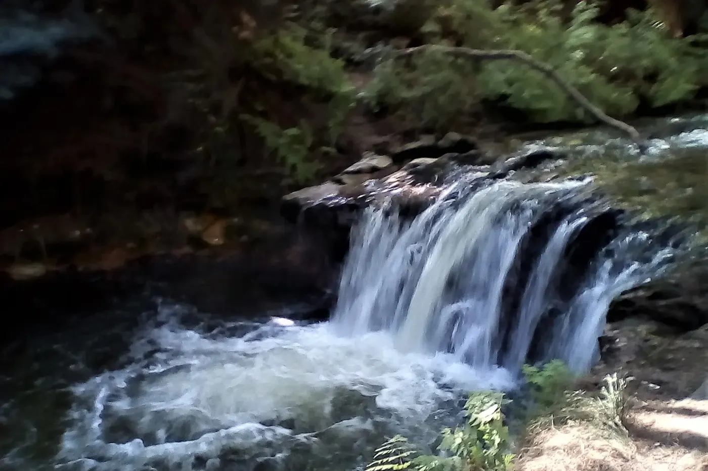
Kerosene Creek, formalmente conocido como Hakereteke Stream (nombre māori Te Ranga), es un arroyo naturalmente caliente alimentado por manantiales termales, ubicado a unos 27 km al sur de Rotorua, dentro de la zona geotérmica de Waiotapu. Nace en las laderas de Tutehu, atraviesa un pantano cerca de Rotowhera (Lago Verde) y presenta una pequeña cascada de unos 2 m de altura que desemboca en un popular pozo de baño natural. El arroyo contiene varios manantiales termales, algunos con filtraciones de petróleo (origen de su nombre en inglés) y gas de sulfuro de hidrógeno, y sigue siendo un lugar sin comercializar y de acceso gratuito.

Kerosene Creek, formally the Hakereteke Stream (Māori name Te Ranga), is a naturally hot spring-fed stream about 27 km south of Rotorua within the Waiotapu geothermal area. It rises on the slopes of Tutehu, passes a swamp near Rotowhera (Green Lake), and features a small waterfall roughly 2 m tall that flows into a popular natural swimming hole. The creek contains multiple hot springs, some with petroleum seeps (the source of its English name) and hydrogen sulphide gas, and remains an uncommercialised, free-access site.

ケロシン・クリーク(正式名ハケレテケ・ストリーム、マオリ名テ・ランガ)は、ロトルアの南約27kmのワイオタプ地熱地帯にある天然の温泉に恵まれた小川である。テフテの斜面に源を発し、ロトフェラ(グリーンレイク)近くの湿地を通過し、高さ約2mの小さな滝があり、人気の天然水浴び場に流れ込む。この小川には複数の温泉があり、一部は石油の湧出(英語名の由来)と硫化水素ガスを伴い、商業化されていない無料アクセスの場所のままである。

Técnicas

Techniques

技法

Bathing

Patrimonio

El nombre māori original del arroyo es Te Ranga, y tiene importancia cultural para los iwi Ngāti Tūhourangi y Ngāti Tahu–Ngāti Whaoa. En 2015 fue clasificado entre los 'diez mejores pozos de baño de Nueva Zelanda' por AA Directions.

Heritage

The stream's native Māori name is Te Ranga, and it holds cultural significance for the iwi Ngāti Tūhourangi and Ngāti Tahu–Ngāti Whaoa. It was ranked among the 'top 10 swimming holes in New Zealand' by AA Directions in 2015.

文化財

この小川のマオリ名はテ・ランガであり、ンガティ・トゥーホウランギおよびンガティ・タフ・ンガティ・ファオアのイウィにとって文化的に重要な場所である。2015年にはAAディレクションズによって「ニュージーランドのベスト10水浴び場」の一つに選ばれた。

Contacto

DirecciónOld Waiotapu Road, near Waiotapu, approximately 27 km south of Rotorua, New Zealand

Contact

AddressOld Waiotapu Road, near Waiotapu, approximately 27 km south of Rotorua, New Zealand

連絡先

住所Old Waiotapu Road, near Waiotapu, approximately 27 km south of Rotorua, New Zealand

← Volver al directorio completo Ver en el mapa interactivo← Back to the full directory View on the interactive map← ディレクトリ全体に戻る インタラクティブマップで見る