Gilchrist Blue Springs State Park

🇺🇸 USA · High Springs, Florida

Gilchrist Blue Springs State Park

Manantiales / Gilchrist Blue Springs State ParkSprings / Gilchrist Blue Springs State Park

♨ Temperatura

22°C

⛰ Altitud

12 m

⚗ pH

7.5

💧 TDS

250 mg/L

🌊 Caudal

28 million gallons/day

📅 Establecido

State park established 2015 (formerly Hart Springs)

♨ Temperature

22°C

⛰ Altitude

12 m

⚗ pH

7.5

💧 TDS

250 mg/L

🌊 Flow rate

28 million gallons/day

📅 Established

State park established 2015 (formerly Hart Springs)

Freshwater SpringKarst Spring

✓ Verificado el 2026-07-23

✓ Verified on 2026-07-23

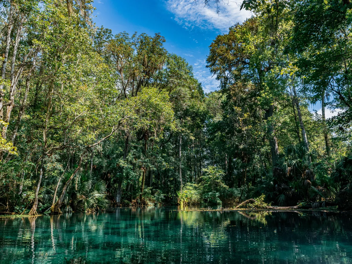
Gilchrist Blue Springs State Park, establecido en 2015 en el lugar del antiguo parque del condado Hart Springs, se asienta donde tres canales de manantiales confluyen en el río Suwannee. Los manantiales producen un azul inusualmente intenso por el contenido mineral del agua del Acuífero Floridano, con excelente visibilidad. El parque suele estar significativamente menos concurrido que el cercano Ichetucknee, lo que lo convierte en una buena opción para quienes buscan una experiencia de manantial más tranquila.

Gilchrist Blue Springs State Park, established in 2015 on the site of the former Hart Springs county park, sits where three spring runs meet the Suwannee River. The springs produce an unusually rich shade of blue due to the mineral content of the Floridan Aquifer water, and visibility is excellent. The park tends to be significantly less crowded than nearby Ichetucknee, making it a good choice for visitors who want a quieter spring experience. Swimming, snorkeling, and tubing are all permitted. Camping is available on the property.

Contacto

Sitio webwww.floridastateparks.org/parks-and-trails/gilchrist-blue-springs-state-park

Dirección7450 NE 60th St, High Springs, FL 32643

Contact

Websitewww.floridastateparks.org/parks-and-trails/gilchrist-blue-springs-state-park

Address7450 NE 60th St, High Springs, FL 32643

← Volver al directorio completo Ver en el mapa interactivo← Back to the full directory View on the interactive map