Devil's River State Natural Area

🇺🇸 USA · Del Rio, Texas

Devil's River State Natural Area

Manantiales / Devil's River State Natural AreaSprings / Devil's River State Natural Area

♨ Temperatura

22°C

⛰ Altitud

400 m

⚗ pH

💧 TDS

🌊 Caudal

📅 Establecido

♨ Temperature

22°C

⛰ Altitude

400 m

⚗ pH

💧 TDS

🌊 Flow rate

📅 Established

Freshwater SpringNaturalWildernessKarst Spring

✓ Verificado el 2026-07-24

✓ Verified on 2026-07-24

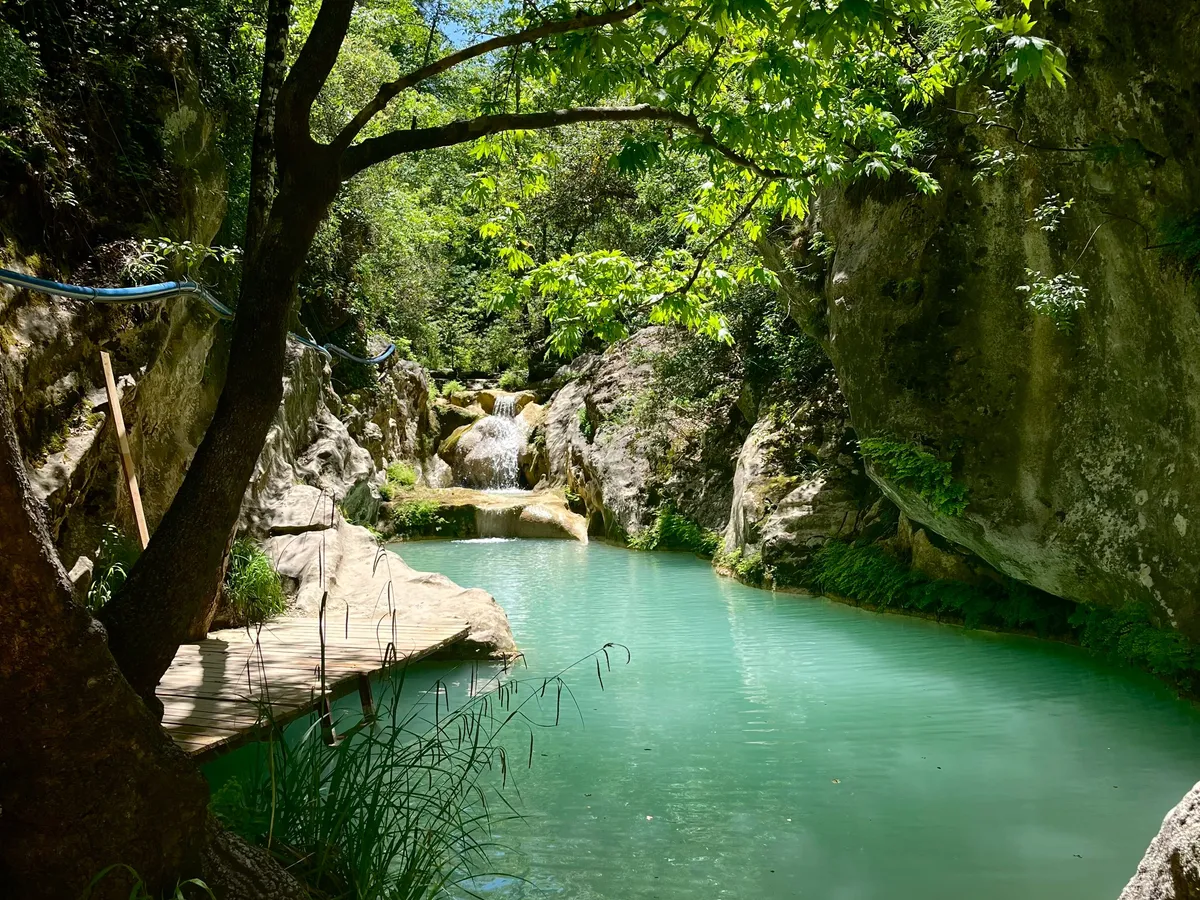
El Río del Diablo se considera uno de los últimos ríos verdaderamente salvajes de Texas: alimentado casi en su totalidad por manantiales que emergen de la caliza de la Meseta Edwards, su agua permanece cristalina y fría a unos 22°C durante todo el año. El Área Natural Estatal del Río del Diablo protege un tramo de este remoto valle fluvial en el desierto Chihuahuense entre Del Rio y Sonora.

The Devil's River is considered one of the last truly wild rivers in Texas — fed almost entirely by springs emerging from the Edwards Plateau limestone, its water remains crystalline and cold at around 22°C year-round. The Devil's River State Natural Area protects a stretch of this remote river valley in the Chihuahuan Desert between Del Rio and Sonora. Access requires a permit and typically involves a multi-day canoe or kayak trip; facilities are minimal and intentional. The river's exceptional water clarity and fish diversity make it a priority conservation site.

Contacto

← Volver al directorio completo Ver en el mapa interactivo← Back to the full directory View on the interactive map