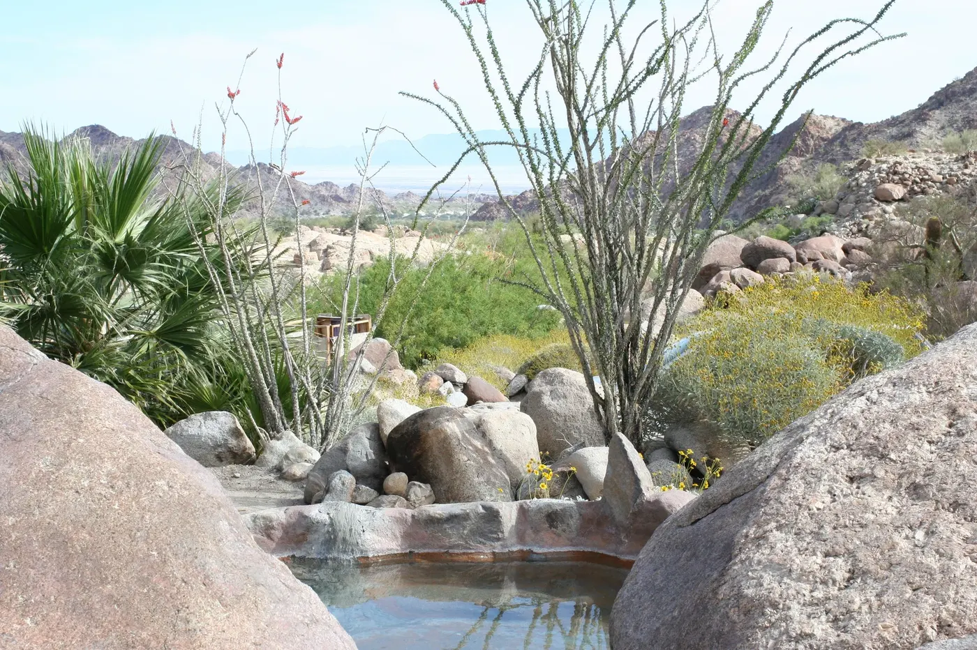
Photo by Netherzone, via Wikimedia Commons (CC BY 2.0)
🇲🇽 Mexico · Baja California (Sierra de Juárez, Mexicali Municipality)
Photo by Netherzone, via Wikimedia Commons (CC BY 2.0)
🇲🇽 Mexico · Baja California (Sierra de Juárez, Mexicali Municipality)
♨ Temperature
46°C
⛰ Altitude
367 m
⚗ pH
—
💧 TDS
—
🌊 Flow rate
—
📅 Established
—
✓ Verified on 2026-07-31
Cañón de Guadalupe cuts through the granite Sierra de Juárez roughly two hours from Mexicali, where a fault line brings mineral-rich geothermal water to the surface at temperatures ranging from about 35°C to 52°C. Indigenous communities used the springs long before the site's current stewards -- the Ejido Guadalupe Canyon -- began channeling the water into private stone-and-mortar tubs spread across some fifteen campsites shaded by native California fan palms. Visitors camp overnight to combine soaking with some of Baja California's clearest night skies, reached via a rough dirt road through the desert.
AddressCañón de Guadalupe, Sierra de Juárez, Municipio de Mexicali, Baja California, México