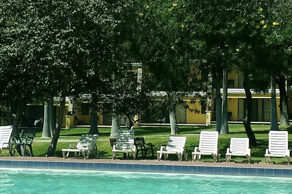
Photo by Ale Ramos M, via Wikimedia Commons (CC BY-SA 4.0)
🇲🇽 Mexico · Guanajuato (Comanjilla, Silao de la Victoria)
Photo by Ale Ramos M, via Wikimedia Commons (CC BY-SA 4.0)
🇲🇽 Mexico · Guanajuato (Comanjilla, Silao de la Victoria)
♨ Temperature
—
⛰ Altitude
1887 m
⚗ pH
—
💧 TDS
—
🌊 Flow rate
—
📅 Established
Documented since at least 1909 by geological researchers
✓ Verified on 2026-07-31
Comanjilla lies where geological fractures between the Sierra de Guanajuato and the Sierra de León bring sulphurous thermal water and vapor to the surface -- a 1909 geological survey of the area counted six active springs plus several smaller spouting sources and vapor emissions. Today that natural heat feeds Termas Comanjilla, a family balneario built around the springs with thermal pools, individual mineral-water tubs, a wave pool and slides, plus a temazcal steam bath and spa services. The water is intensely hot where it first emerges from the rock, and the site remains one of the Bajío region's longest-documented geothermal destinations.
A 1909 geological survey documented six active springs and multiple vapor vents at Comanjilla, making it one of the earliest scientifically recorded geothermal sites in the Bajío region.