Selenicë Thermal Springs

🇦🇱 Albania · Vlorë County

Selenicë Thermal Springs

Manantiales / Selenicë Thermal SpringsSprings / Selenicë Thermal Springs温泉・鉱泉 / Selenicë Thermal Springs

♨ Temperatura

⛰ Altitud

⚗ pH

💧 TDS

🌊 Caudal

📅 Establecido

♨ Temperature

⛰ Altitude

⚗ pH

💧 TDS

🌊 Flow rate

📅 Established

♨ 温度

⛰ 標高

⚗ pH

💧 TDS

🌊 流量

📅 開設

Chloride

✓ Verificado el 2026-07-31

✓ Verified on 2026-07-31

✓ 確認日 2026-07-31

Los manantiales termales de Selenicë se encuentran en el municipio de Selenicë, provincia de Vlorë, en el suroeste de Albania, a unos 30 km tierra adentro de la ciudad de Vlorë por el valle del río Vlora. Geológicamente, el lugar está clasificado como el manantial número ocho en el mapa geotérmico nacional de Albania y pertenece a la provincia geotérmica del Jónico Sur; su agua clorurada sódica se describe en la literatura geotérmica como "periférica", es decir, que se mezcla con agua subterránea fría en su camino a la superficie, lo que la mantiene hacia el extremo más frío del espectro termal del país. No hay piscina de baño desarrollada, señalización ni infraestructura para visitantes, y no existe una lectura de temperatura superficial confirmada de acceso público: el manantial está documentado principalmente como un rasgo geológico más que como un destino turístico, y encontrarlo sobre el terreno requiere conocimiento local. Selenicë es conocida sobre todo por sus antiguos yacimientos naturales de betún, entre los mayores del mundo, y por el patrimonio otomano cercano y el parque arqueológico de Amantia.

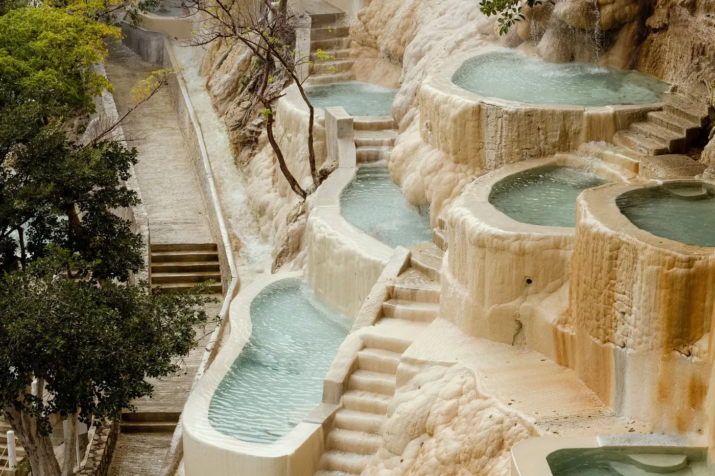
The Selenicë Thermal Springs lie within Selenicë municipality in Vlorë County, southwestern Albania, roughly 30 km inland from the city of Vlorë via the Vlora river valley. Geologically, the site is classified as spring number eight on Albania's national geothermal map and belongs to the South Ionian geothermal province; its chloride-sodium water is described in geothermal literature as "peripheral," meaning it mixes with cold groundwater on its way to the surface, which keeps it toward the cooler end of the country's thermal spectrum. There is no developed bathing pool, signage, or visitor infrastructure, and no confirmed surface temperature reading is publicly available - the spring is documented mainly as a geological feature rather than a tourist destination, and finding it in the field requires local knowledge. Selenicë is otherwise best known for its ancient natural bitumen deposits, among the largest in the world, and for nearby Ottoman-era heritage and the Amantia archaeological park.

セレニツェ温泉は、南西アルバニア、ヴロラ県セレニツェ自治体内、ヴロラ川渓谷を経てヴロラ市街から内陸へ約30kmの場所に位置する。地質学的には、この地点はアルバニアの国家地熱地図における第8番の泉として分類され、南イオニア地熱地帯に属する。その塩化ナトリウム泉は地熱学の文献で「周辺性」と表現されており、地表に達するまでに冷たい地下水と混ざり合うため、国内の温泉の中では比較的低温側に位置する。整備されたプールや案内標識、来訪者向けのインフラは存在せず、公開されている確認済みの地表水温データもない。この泉は観光地というよりも主に地質学的特徴として記録されており、現地で見つけるには地元の知識が必要である。セレニツェはそれ以外では、世界最大級とされる古代の天然ビチューメン(天然アスファルト)鉱床、および近隣のオスマン時代の遺産やアマンティア考古学公園で最もよく知られている。

Minerales

Minerals

ミネラル

Chloride
Sodium

Técnicas

Techniques

技法

Bathing

Contacto

DirecciónSelenicë municipality, Vlorë County, Albania (Vlora river valley, approx. 30 km inland from Vlorë)

Contact

AddressSelenicë municipality, Vlorë County, Albania (Vlora river valley, approx. 30 km inland from Vlorë)

連絡先

住所Selenicë municipality, Vlorë County, Albania (Vlora river valley, approx. 30 km inland from Vlorë)

← Volver al directorio completo Ver en el mapa interactivo← Back to the full directory View on the interactive map← ディレクトリ全体に戻る インタラクティブマップで見る