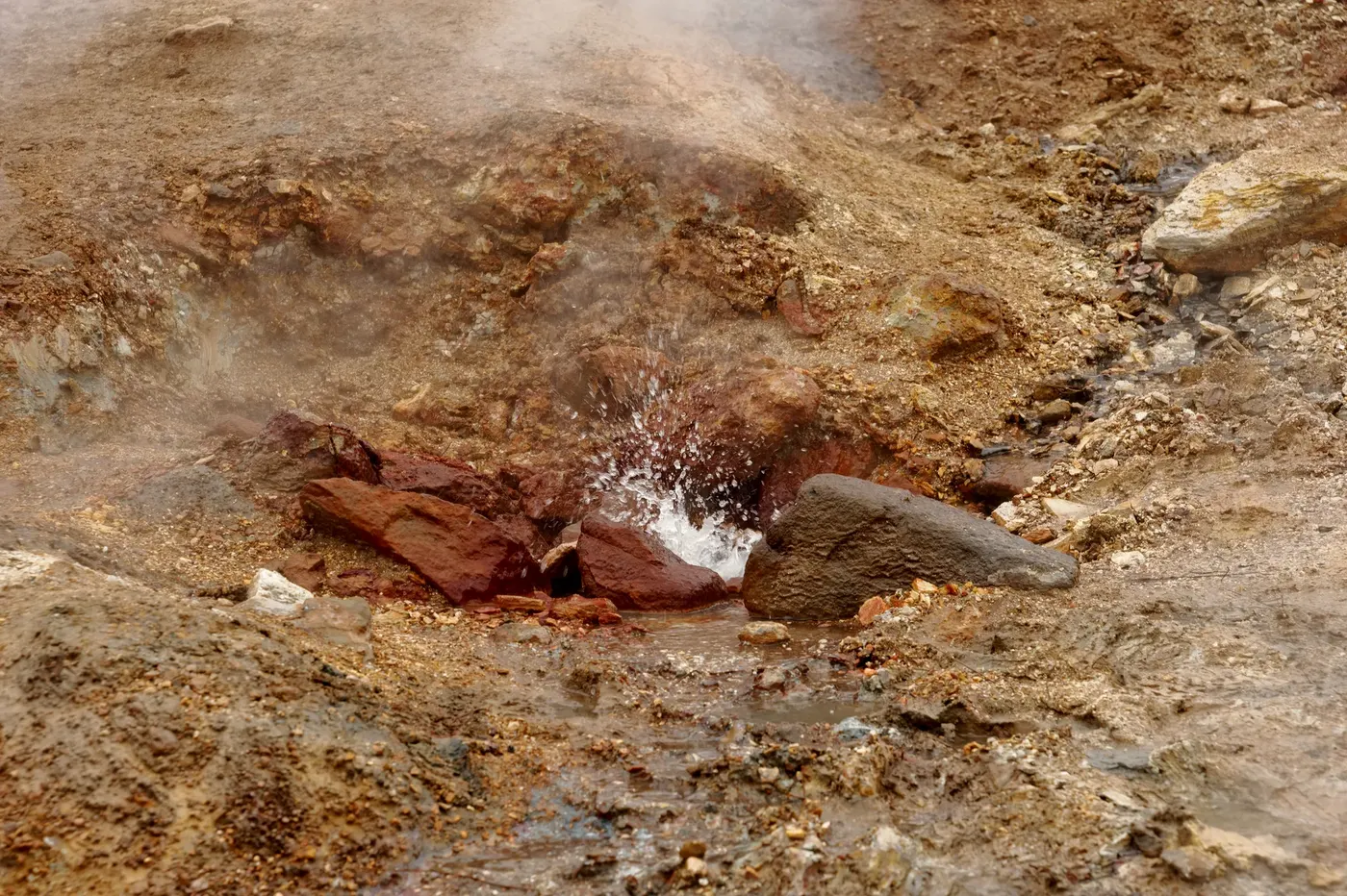
Photo by Jakubhal, via Wikimedia Commons (CC BY-SA 4.0)
🇮🇸 Iceland · South Iceland (Hveragerði)
Photo by Jakubhal, via Wikimedia Commons (CC BY-SA 4.0)
🇮🇸 Iceland · South Iceland (Hveragerði)
♨ Temperature
—
⛰ Altitude
—
⚗ pH
—
💧 TDS
—
🌊 Flow rate
—
📅 Established
—
✓ Verified on 2026-07-28
Reykjadalur is a geothermal valley in the Hengill volcanic system, about 45 km southeast of Reykjavík and roughly 2 km from the town of Hveragerði. A roughly 3 km trail with about 340–380 m of elevation gain climbs past steam vents, mud pots, and the Djúpagilsfoss waterfall to reach a stretch of river where hot spring water — around 36–40°C in the main bathing area, cooling to 33–35°C further downstream — mixes with a cold stream to create a naturally warm bathing river. Wooden boardwalks with privacy screens mark the main bathing area at Klambragil. Along the trail, geothermal vents leave visible mineral deposits — yellow sulfur, red iron oxide, green copper, and white silica — in the ground.